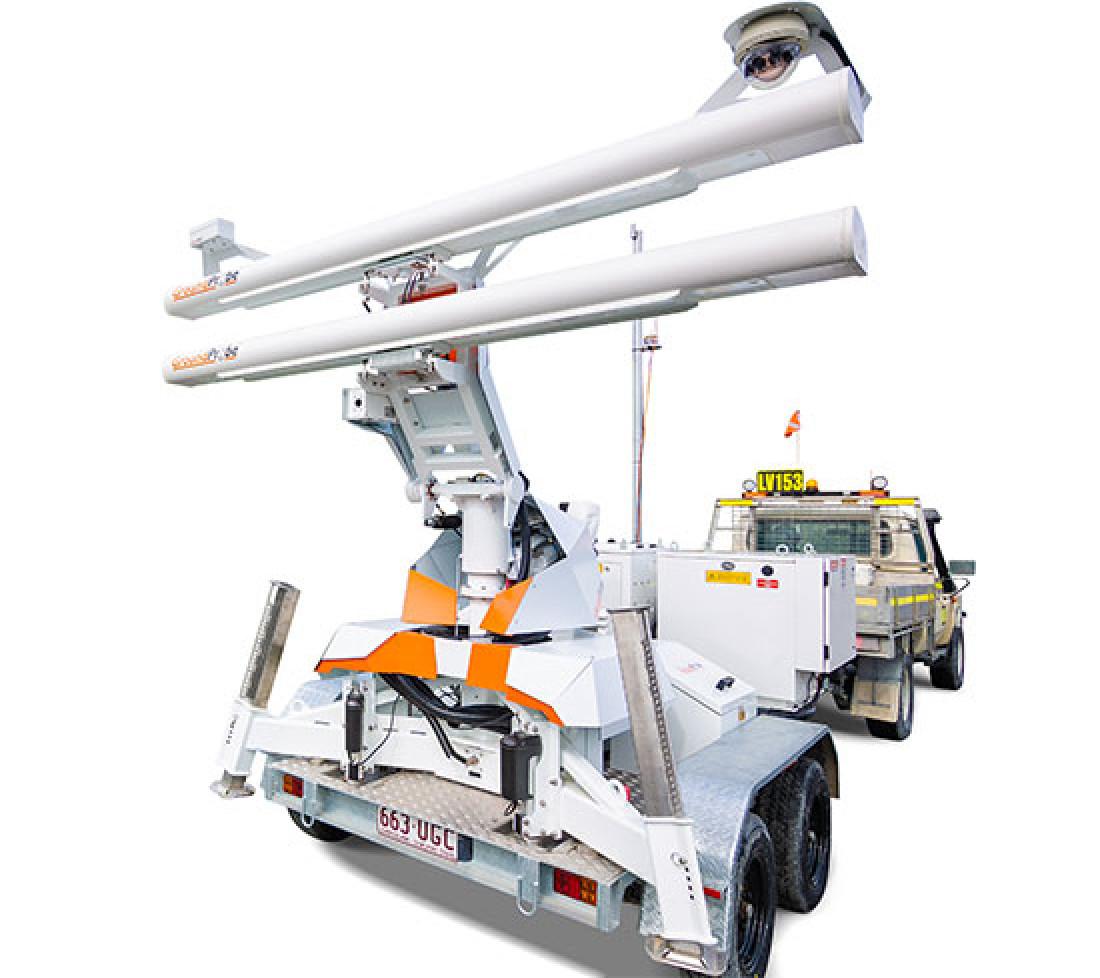
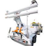
SSR-Omni
FULL-COVERAGE, HIGH-RESOLUTION SOLUTION
The SSR-Omni is a full-coverage, high-resolution monitoring solution that delivers precise, actionable data.
The SSR-Omni is a high-confidence, real-time monitoring and alarming system that delivers unique real aperture measurements you can trust.
With its fine spatial footprint defined by its 2.74m aperture baseline, the SSR-Omni is the highest-resolution rotational radar in the market.
It is also equipped with the sharpest definition modes, selectable between 0.08, 0.24, and 0.33-degree pixels, each at 0.1-millimetre accuracy.
Its small pixel size allows its users to confidently locate and distinguish true areas of movement, with it the ability to see smaller movements earlier.
Intelligent processing algorithms reduce raw data size by 96.5%, ensuring the smallest possible file size.
With only 9 megabytes of data per full-coverage 360° scan at 0.24-degree pixels, the data size reduction allows for critical monitoring even over a slow Wi-Fi link.
The SSR-Omni has an end-to-end scan time of just two minutes for a full-coverage scan.
It sweeps 360° in just 40 seconds to acquire its raw data, and processing occurs on the radar in real time.
Fully processed, usable data is delivered with every two-minute scan without latency or delay.
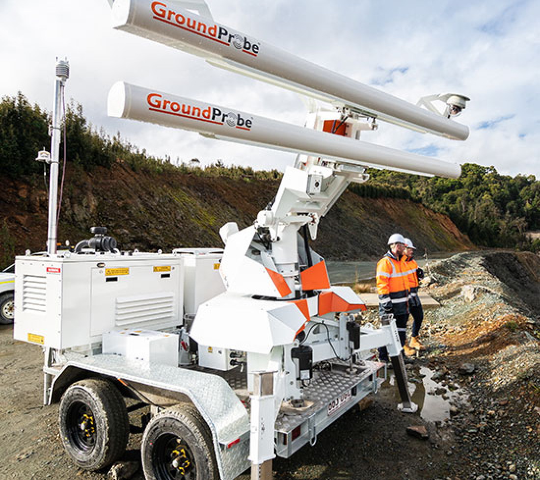
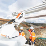
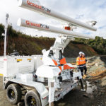
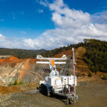
The SSR-Omni is built on GroundProbe’s latest SSR platform, backed by a long history of reliability, uptime and proven mechanical engineering.
On-board is the most reliable hybrid diesel generator system in the radar industry. It’s built tough, runs independently of weather, and meets all current global emission standards.
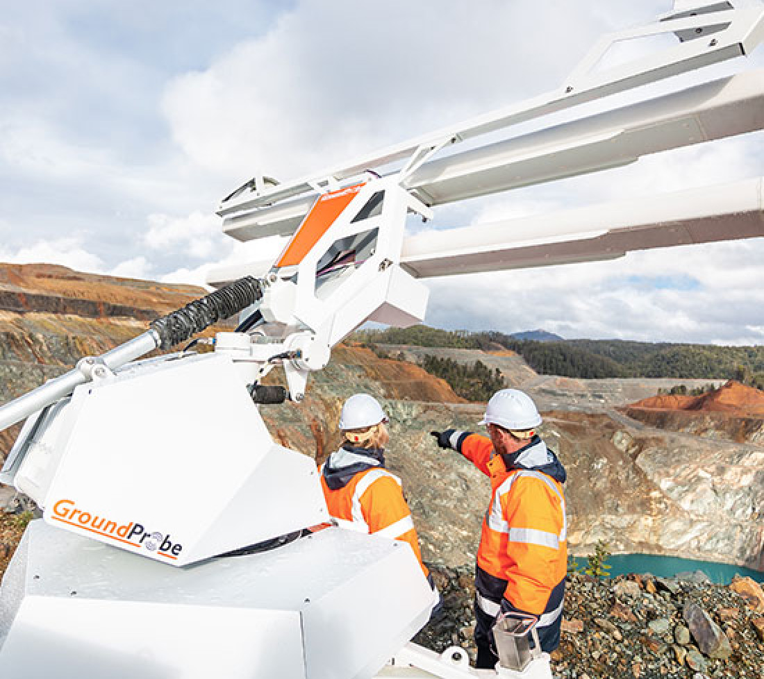
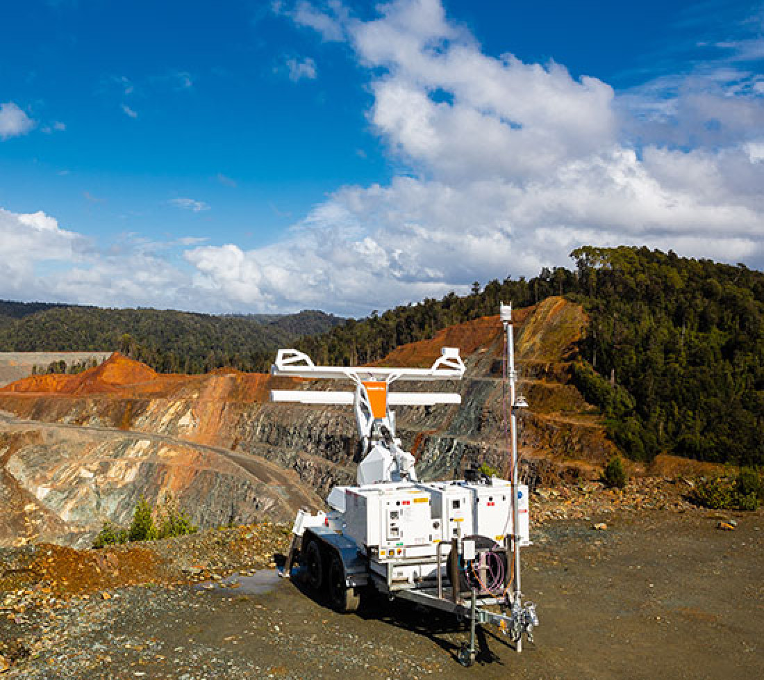
The system provides full coverage 360° monitoring.
Completing a 360° acquisition every 40 seconds, all new risks and deformation hotspots are detected quickly so that users can act on them fast.
The SSR-Omni has a range of up to 5.6km with 11.2km coverage in-pit, easily meeting the needs of the world’s biggest mines.
Even at its longest range, the system maintains the highest resolution qualities with a sub-bench pixel size, ensuring precise, usable data.
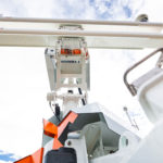
The SSR-Omni is equipped with an all-in-one GNSS, giving its users information about their radar’s location, alignment, and tilt with great precision. With built-in geospatial positioning technology, the radar’s location is also automatically georeferenced in MonitorIQ® Desktop.
Three years in the making and a radical departure from current atmospheric correction methods, the new algorithm manages atmospherics better than ever before to deliver the cleanest data possible.
In MonitorIQ® Desktop, the data is visualised as a deformation heatmap and linked directly to the scene, providing spatially co-located information on every point. SSR-Omni users can choose between two of our renowned data visualisation methods for analysis – 3D DTM View or Plan View.
Product features and videos
| OPERATIONAL SPECIFICATIONS | ENVIRONMENTAL | |
|---|---|---|
| Scan Area (Coverage): Broad Area Mode: 360°AZ (adjustable) x 60°EL High Definition Mode: 120°AZ x 60°EL |
Communications: Integrated wireless link or connect to mine network |
Survival Wind Speed:160km/hr
Operational Wind Speed:100km/hr |
| End-to-End Scan Time*: 360° x 60° (2 minutes)* At maximum capacity, range, azimuth, and resolution the scan time may increase to about 3 minutes. |
Power Options: RAPS (Y), CPS2, Battery Box with AC |
Altitude: 0 to 5,000m |
| Range: 5,600m |
Deployment Option: Fixed and Mobile |
Humidity: 5% to 99% |
| Pixel Size at 1000 Metres: Broad Area Mode (0.24°): 4.2m x 0.68m High Definition Mode (0.08°): 1.5m x 0.68m |
Deformation Measurement Accuracy: 0.1 mm or submillimetre |
Rainfall: 0 to 100mm/hr |
| Error Increase Over Range: Nil |
Temperature: Standard kit: -25°C to +55°C |