AND PEAK PRODUCTIVITY
Groundprobe
Global Technology Leaders
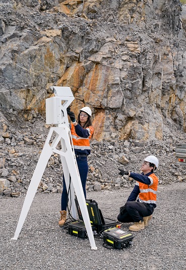
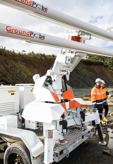
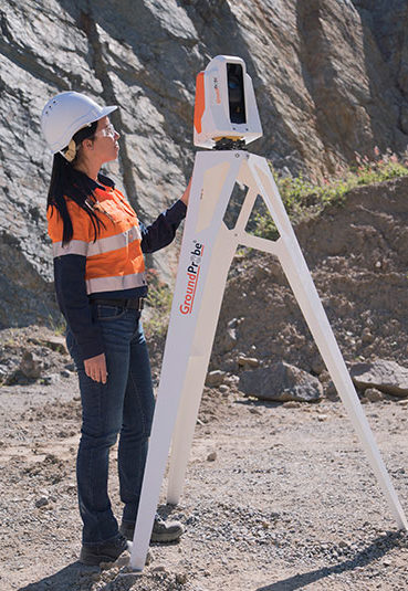
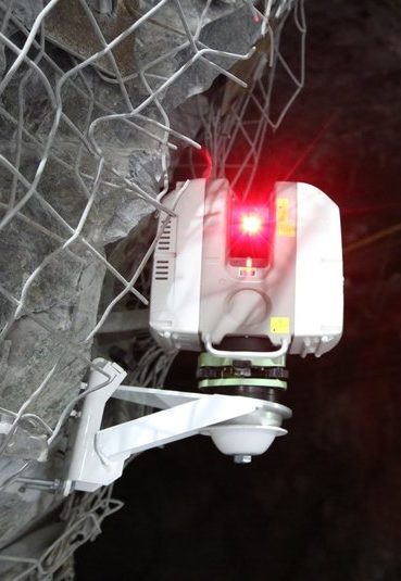
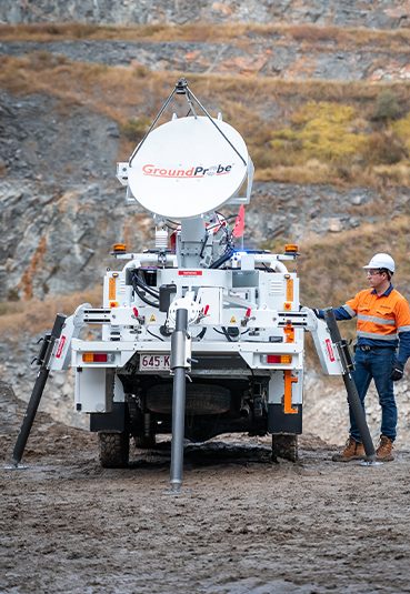
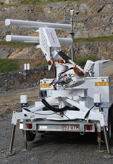
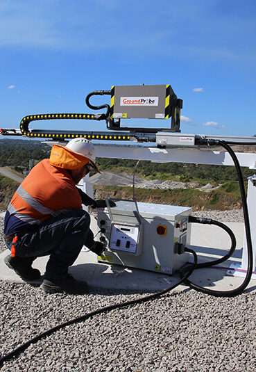
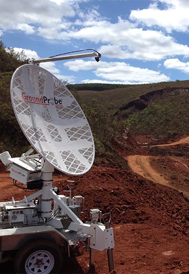
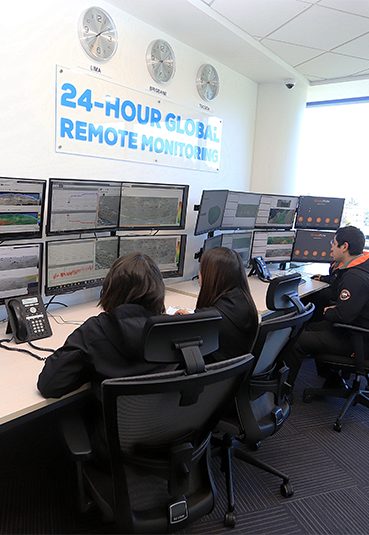
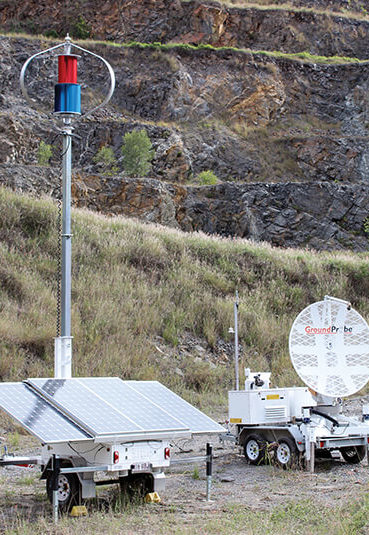
GroundProbe is a global technology leader specialising in real-time solutions for measuring and monitoring geohazards. We are the brand most trusted by mining and civil operators globally, giving them the certainty they need to make critical decisions, with confidence. For more than 20 years, we have been creating state-of-the-art technologies and software that deliver precise and reliable information to our customers, helping them better manage risk, maintain operations and production, and keep people and communities safe. With the broadest range of technologies and services, and a truly global footprint of support, only GroundProbe can offer a complete, tailored solution.
Groundprobe
solutions
CLIENT
TESTIMONIALS
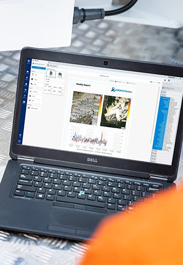
“Our business has multiple SSR-XT across multiple sites. MonitorIQ provides me the ability to monitor all radars at all sites from one place.”
BHP
“We have been using Monitor IQ at CMP Chinalco Tormocho for a while and as a team, we are very satisfied with the features it has to manage efficiently our geotechnical data for monitoring the radar at Presa.”
Minera Chinalco Peru
“MonitorIQ has been an invaluable tool in helping me determine risky areas and understand the characteristics of dangerous movements that threaten mining activities. After more than 5 years of using it, I have found that each software update release provides a new experience, with new features for sharper data analysis and simplified decision-making ...”
PT. Wahana Baratama Mining, Jakarta, Indonesia
“GroundProbe's Monitor IQ is a geotechnical analysis platform that represents an advanced slope monitoring system in mining environments. Its ability to detect, monitor and facilitate equipment analysis provides real-time information on the displacements of geotechnical structures and the physical conditions of equipment. Continuous analysis of equipment ...”
Samarco Mine Brazil
“The system has assisted us greatly with our real-time stability monitoring programs. It has the ability to provide us with critical movement information and allows us to ensure safe mining operations.”
PT Kaltim Prima Coal, Indonesia
“The deployment of the Slope Stability Systems at our key mine sites has empowered our geotechnical staff to be proactive in the communication of timely, accurate and reliable slide movement information to our mine safety, operations and production teams.”
PT Bayan Resources TBK, Indonesia
“Our partnership with GroundProbe over the years continues to grow. We greatly value the quality of the support and training they provide to our team.”
BHP Mitsubishi Alliance (BMA), Australia
“We have selected GroundProbe as the sole supplier of all radars, based on both their suite of technology offerings, and the quality of the support that they have provided and continue to provide our team. GroundProbe is not just a provider, but a partner.”
Samarco Mine, Brazil
“Debswana diamond mining operations in Botswana has achieved significant improvements to safety and production on site by engaging GroundProbe Geotechnical Support Services team to perform remote Geotechnical hazard detection and data analysis from the other side of the world.”
Debswana Diamond Mine, Botswana
“GroundProbe’s Geotechnical Support Services team provided our site with their unique GSS-Training service. The training provided was conducted professionally and was extremely beneficial in getting our Geotechnical Engineers up to speed on both the radar’s hardware and software.”


