
LiDAR, which stands for Light Detection and Ranging, is a remote sensing method that uses light in the form of a pulsed laser to measure ranges to the object being monitored. LiDAR technology, incorporated into the GMS and GML systems, follows a simple principle — throw laser light at an object on the earth surface and calculate the time it takes to return to the LiDAR source. This allows users to conduct geotechnical and convergence monitoring by calculating the time it takes the light to return to the LiDAR source and comparing this to previous measurements to determine if the movement is moving towards or away from the system.
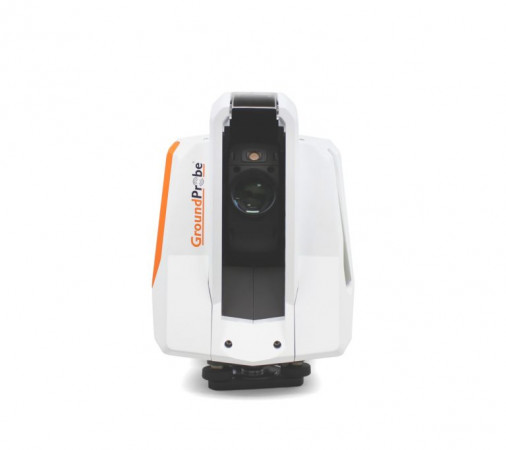
GMS-Dual
The GMS-Dual (Geotech Monitoring Station) is a long-term, background and predictive monitoring tool designed to track areas of geotechnical movement that are difficult, dangerous, or even impossible to reach using prisms.
Take a look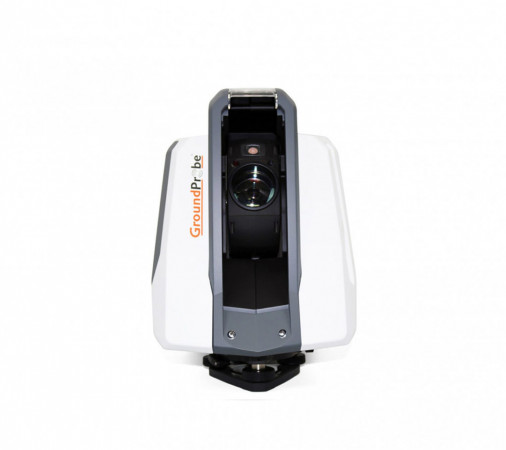
GMS-Prism
The GMS-Prism (Geotech Monitoring Station) is a long-term, background and predictive monitoring tool designed to track areas of geotechnical movement that are difficult to monitor using Slope Stability Radars (SSR).
Take a look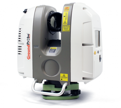
GML (Convergence Monitoring)
The GML - together with its Convergence Monitoring Module - is GroundProbe’s industry-disrupting underground monitoring solution. Capable of detecting rock and ground support movement with submillimetre accuracy, the GML offers a range of unprecedented features and benefits for underground monitoring.
Take a look