
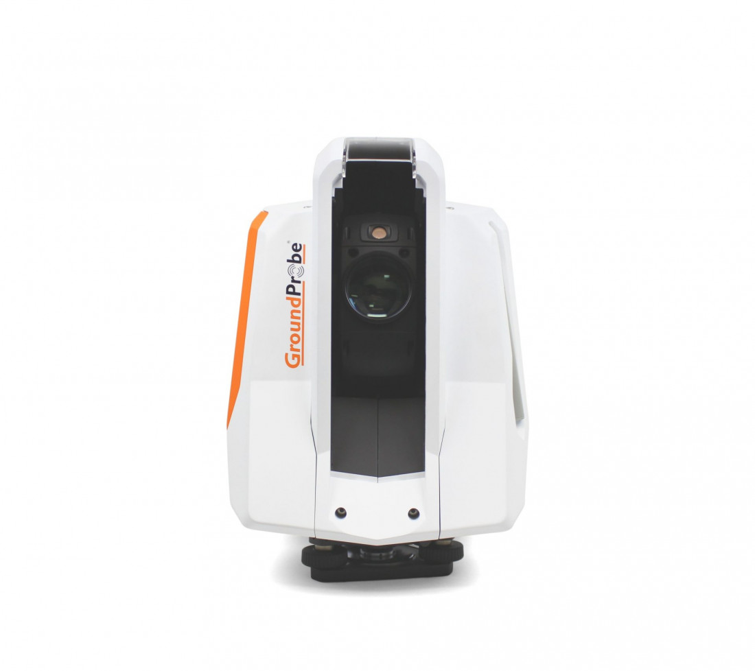

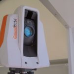
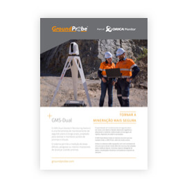
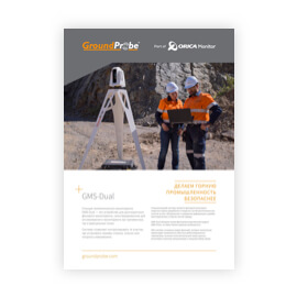
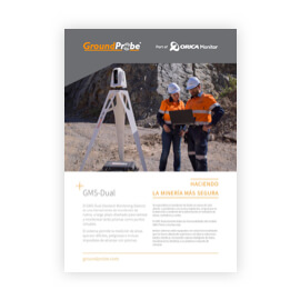
GMS-Dual
The GMS-Dual (Geotech Monitoring Station) is a long-term, background and predictive monitoring tool designed to track areas of geotechnical movement that are difficult, dangerous, or even impossible to reach using prisms.
The GMS achieves this through the use of LiDAR to ensure highly accurate tracking and monitoring of physical prisms and virtual points placed across areas of interest.
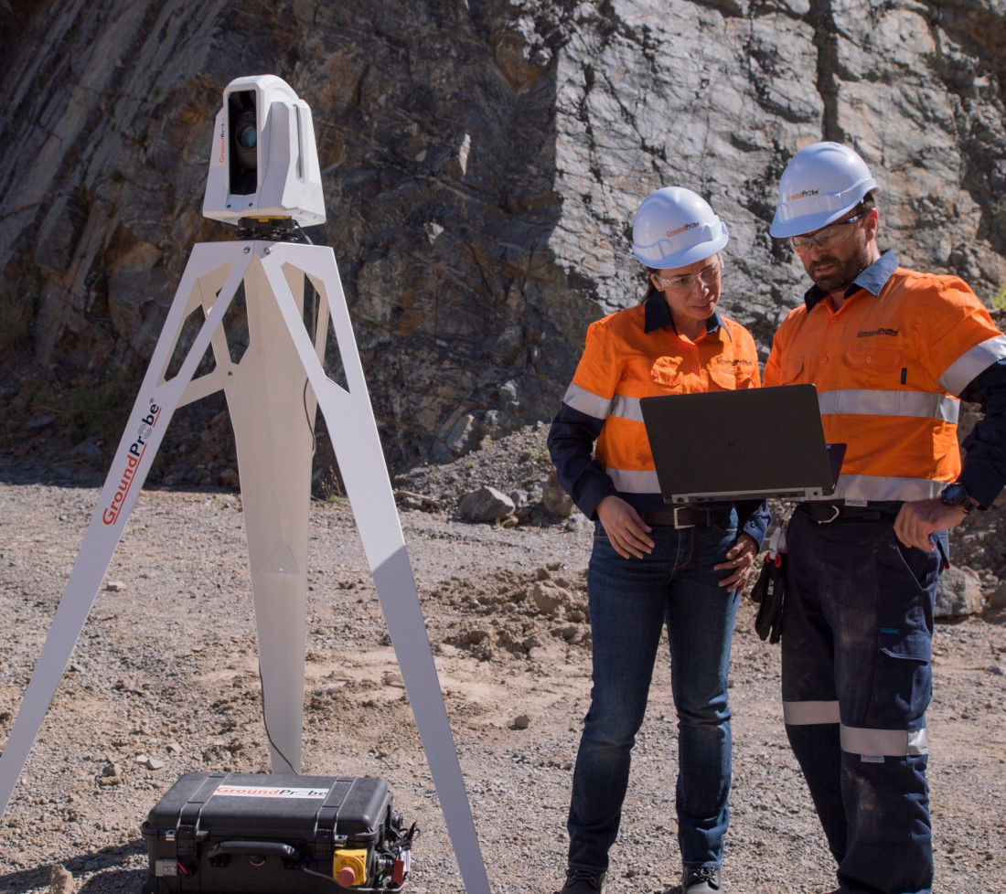
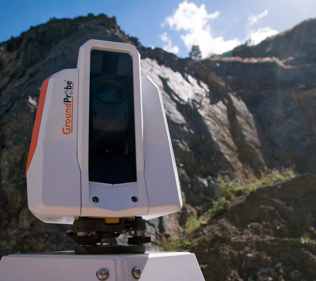
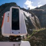
It specialises in monitoring open cut pits and highly vegetated slopes, as well as detecting and measuring deformation on tailings dams, dumps, and cuttings.
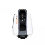
The GMS-Dual delivers all the same features as its sister model, the GMS-Prism, and includes a range of hardware and software features that take it well beyond the capabilities of a typical robotic total station.
The system has undergone significant software and hardware updates, making it even more user-friendly and versatile.
The GMS-Dual monitors using both prisms (Prism Points) and virtual points (Pixel and Precision Points) placed directly on the rock.
Prism Points are highly accurate, can be scanned from long ranges, and are the fastest to scan.
Pixel Points require no prisms, are fast to scan, and can be placed in as many locations as required.
Precision Points are ideal for pinpointing and observing key areas of concern, especially on rough, jagged, rock faces and areas on the wall with a low incidence angle to the laser.
Although taking longer to scan, the resultant accuracy in these scenarios is unmatched.
Prism, Pixel and Precision Points can be selected and interlaced in a single scan to suit the required accuracy and scan time.
Existing prism locations can also be imported with ease.
The GMS-Dual measures and displays deformation for all types of points with high accuracy.
Multiple streams of deformation data are collected, with different atmospheric timeframe processing.
All measurements are processed and ready for analysis at the end of each scan, enabling the early detection of movement.
For additional accuracy, the vector movement in 3D is also measured for prisms, empowering users to better understand ground conditions and get the benefits of both readings.
Users can analyse individual points, or average groups of points in any configuration.
The GMS-Dual can be rapidly deployed using the automatic grid scan feature.
The software automates a grid of Pixel Points once the scan area is specified, allowing for immediate scanning.
Using up to 1000 Pixel Points with dense pixel spacing, the system ensures that no point of interest is overlooked.
Prism Points are automatically tracked and located at every scan.
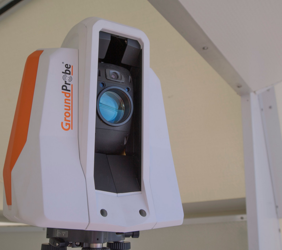
There are two lasers onboard: one for measuring deformation and one dedicated to prism collimation.
This ensures that even if a prism is moving, its location is never lost, without ever relying on historical data for coordinate information.
The GMS hunts for, finds and locks Prism Points into their exact position with each and every scan.
The GMS includes a zoom functionality with a digital zoom magnification of up to eight times.
It is also fitted with a five-megapixel wide angle camera to capture entire areas of interest with ease.
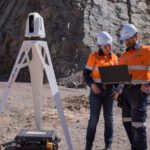
This allows users to conduct remote, visual inspections of a slope or tailings dam – through MonitorIQ® Desktop – from the safety of the office.
With a built-in failsafe for increased robustness, the GMS will never miss a scan.
Through its on-unit processing and our software’s trusted data sync feature, the GMS will continue to collect data, even if the Wi-Fi is lost or the Primary Monitoring Point is shut down.
For ultimate flexibility, the GMS-Dual can also be used as a periodic monitoring tool to suit differing site needs.
Multiple areas can be scanned at regular intervals using the one device, allowing periodic coverage of active areas.
The GMS has fully automated geo-referencing capabilities, needing only two reference points with known coordinates.
Any prism coordinates as well as the GMS device location itself can be nominated as reference points.
Data is fully geo-referenced, and coordinates are updated and exportable on every scan.
In MonitorIQ® Desktop, high-definition images are co-registered with the data generated by the GMS.
The data is visualised as a deformation heatmap and draped directly over the image or external 3D model, providing spatially co-located information of every point.
By clicking on any part of the image, movement can be reviewed and assessed live.
Like many of our monitoring systems, the GMS is compatible with a myriad of solar set-up solutions.
This set-up involves solar panels which connect to the controller which is attached to the battery bank and the power supply unit.
This solar power integration demonstrates GroundProbe’s commitment towards sustainable practices, especially with regard to energy and power sources.
All data from the GMS is intuitively visualised in GroundProbe’s patented software, MonitorIQ® Desktop.
These powerful visualisations include both 3D DTM View and Front View.
Working in conjunction with MonitorIQ® Desktop, GroundProbe’s dedicated Alarm Centre application directly imports all GMS alarms set up in MonitorIQ® Desktop.
This provides users with an efficient way to handle and acknowledge alarms from multiple sensors on one screen.
| OPERATIONAL SPECIFICATIONS | ENVIRONMENTAL | |
|---|---|---|
| Scan Area (Coverage):
|
Dense Point Spacing:
|
Operating Temperatures:
PSU and PU: |
| Range (Prism Points):
Pixel and Precision Points: 650 m Range (Pixel & Precision Points): Optimal Range: Pixel and Precision Points: 650 m Max Operational Range: Pixel and Precision Points: 800 m |
Deformation Measurement Accuracy (Prisms): ±2mm + 2ppm |
Humidity: Maximum 95% non-condensing |
| Data Size: 80kb per scan @ 1000 Points |
Protection:
Power Supply Unit andProcessing Unit: IP65 |
Downloads and Resources

Related Products
GMS-Prism
LONG-TERM, BACKGROUND PRISM SOLUTION
The GMS-Prism (Geotech Monitoring Station) is a ...
More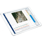
MonitorIQ® Enterprise Geotechnical Software
Designed and developed by geotechnical engineers for geotechnical engineers, MonitorIQ® ...
More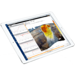
MonitorIQ® Desktop Geotechnical Software
MonitorIQ® Desktop is our dedicated geotechnical analysis platform and the standard ...
More