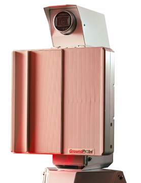
Orica Digital Solutions‘ GroundProbe radar technology and geotechnical expertise are helping to improve safety and accessibility on Cape Tribulation Road in Queensland, Australia. Their 24/7, real-time monitoring of the slip face above the road ensures motorists can continue to use this vital route safely. This road faced even greater difficulties after Tropical Cyclone Jasper in […]
READ MOREWebinar: How to Integrate GNSS Data into a Smart Deformation Monitoring Strategy
Global Navigation Satellite Systems (GNSS) are widely used to monitor deformation and slope stability in harsh environments. By integrating GNSS data alongside other in-situ sensors, such as inclinometers, ShapeArrayTM, and piezometers, stakeholders can leverage a comprehensive cross-analysis to ultimately make better-informed decisions. How can you easily integrate all that data into a smart deformation monitoring […]
READ MORE


