


Lidar vs. Radar: Understanding their Key Differences for Geotechnical Monitoring
In the field of sensing technologies, particularly in geotechnical monitoring, autonomous systems, and environmental mapping, Lidar and Radar emerge as two leading solutions. Each offers distinct advantages and limitations, making them well-suited to different applications depending on specific operational requirements.
Understanding Lidar and Radar
- Lidar (Light Detection and Ranging) uses laser beams to measure distances and create high-resolution, three-dimensional maps of an area. It’s widely used in autonomous vehicles and topographic mapping.
- Radar (Radio Detection and Ranging) employs radio waves to detect objects, measure distances, and track movement. It’s a staple in aviation, weather monitoring, geotechnical monitoring and rockfall detection.
Key Differences
| FEATURE | LIDAR | RADAR |
| Spectrum | Light (laser beams) | Radio waves |
| Range | Short to medium (up to ~2 km) | Long-range (tens of kilometers) |
| Accuracy | High-resolution, less precise | Lower resolution but more precise and reliable over long distances |
| Weather Influence | More affected by fog, rain, dust and atmospheric changes | Performs better in adverse weather conditions and is not blocked by fog and rain. |
| Deformation Detection | In general, over 2 to 5 mm of deformation per scan | Up to 0.1 mm per scan |
| Cost | Typically, cheaper | In general, more expensive. |
Lidar vs Radar: Pros and Cons
| LIDAR | RADAR |
| ✅ High resolution ✅ Creates detailed 3D maps ✅ Excellent for static environment scanning and survey ✅ Cheaper |
✅ Performs well in all weather conditions ✅ Long range ✅ Sub millimetric detection of deformation ✅ More precision |
| ❌ Less precise ❌ Affected by weather condition ❌ Shorter range compared to radar |
❌ Lower resolution ❌ Not ideal for detailed mapping |
Lidar vs Radar: Which One Should You Choose?
Choosing between Lidar and Radar depends on your specific needs:
- Lidar is ideal for high-resolution mapping and detailed terrain scanning.
- Radar is the best choice for safety-critical geotechnical monitoring in long-range and good performance in poor weather conditions.
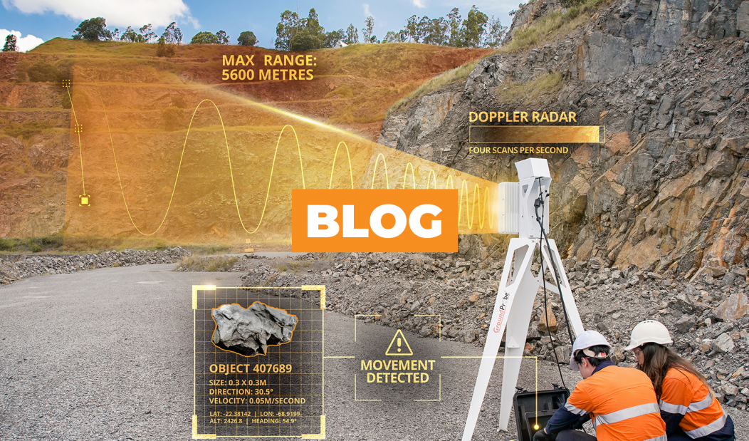
In geotechnical monitoring, radar’s ability to track movement in real-time and withstand harsh conditions makes it a standout. GroundProbe’s SSR-XT and SSR-Omni radar systems provide real-time slope stability monitoring, detecting movement with high accuracy even in extreme weather. This ensures early warning of potential collapses and enhances safety and operational continuity.
GroundProbe’s RGR-Velox is another example of cutting-edge radar technology. Specifically designed for detecting fast-moving rockfalls, it combines rapid detection with instant alarming, a critical feature for high-risk environments such as mines and open-pit operations.
By understanding the pros and cons of Lidar vs Radar, you can make an informed decision on the right technology for your application, whether it’s monitoring rockfall or navigating autonomous vehicles.
LEARN MORE: GroundProbe
#GroundProbe #GeoSolutions #ODS #OricaDigitalSolutions #LidarVsRadar #GeotechnicalMonitoring #SlopeStability