
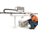
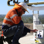


SSR-SARx
SOLUÇÃO DE LONGO ALCANCE E ALTA RESOLUÇÃO
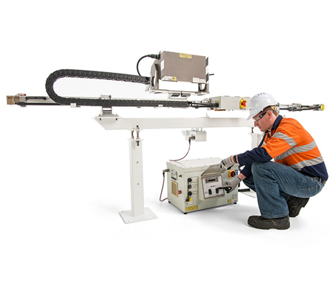
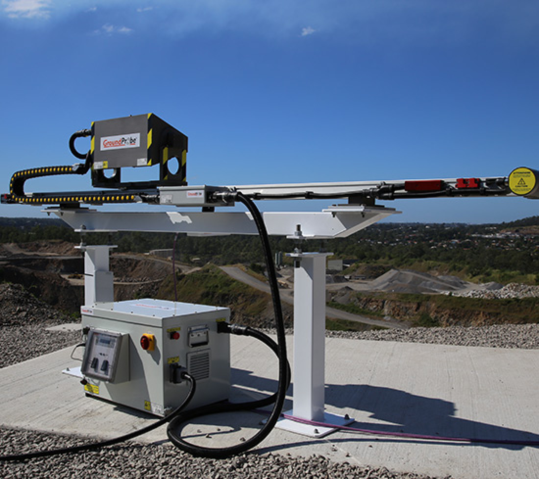
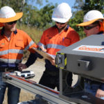
Desenvolvido para identificar riscos e perigos de longo alcance, o SSR-SARx é um sistema de longo alcance e alta resolução para o monitoramento de barragens de rejeito. O SSR-SARx é um radar de abertura sintética em 2D (SAR) desenvolvido para detectar o menor dos movimentos no decorrer de longos períodos.
O SSR-SARx possui uma ótima resolução de abertura com pixels de 0,083 graus por 75 centímetros; capaz de detectar falhas rápidas e de movimento lento com uma resolução de 50% mais do que qualquer outro sistema SAR no mercado.
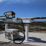
O SSR-SARx desliza em um trilho de 3 metros continuamente, em um método de aquisição denominado “dinamicamente”, permitindo uma velocidade de digitalização SAR de ponta a ponta de apenas dois minutos.
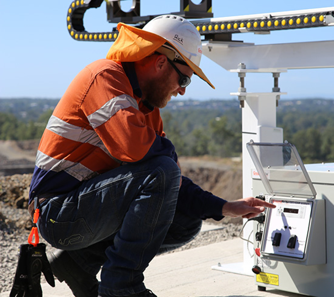
Levando apenas 40 segundos para adquirir os dados, acoplado com o processamento embutido no radar, garante que não há latências ou atrasos na transferência de dados para o Ponto de Monitoramento Primário. Os dados processados por completo ficam imediatamente disponíveis para visualização e alarme ao final de cada digitalização de dois minutos; um recurso especificamente exclusivo da GroundProbe.
Os algoritmos de processamento inteligentes e renomados da GroundProbe reduzem o tamanho dos dados SAR brutos em 96,5 por cento, para manter o menor tamanho de arquivo possível, permitindo que os usuários monitorem criticamente, mesmo sobre um link de WiFi lento.
Seu processamento embutido e transferência leve significam que não há necessidade de laptops não confiáveis serem deixados na cava, nem super computadores no escritório.
Com a técnica de processamento de radar de propriedade da GroundProbe, o SSR-SARx pode monitorar movimentos muito lentos, através do qual a deformação gradual é monitorada por longos períodos de tempo, o que pode não ser detectado de outra forma por campanhas de monitoramento de curto prazo.
Ao criar automaticamente três pastas de dados – scan por scan, 8 horas ou 24 horas – são fornecidos capacidades de monitoramento de longo prazo ou de campanha.
O SSR-SARx facilita o monitoramento contínuo e permanente 24/7 durante muitos anos, através de seu sistema pequeno e leve, com baixo consumo de energia.
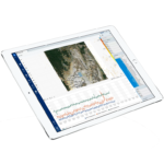
O SSR-SARx inclui um sistema de imagem integrada de alta resolução para fotografias em tempo real, que são co-registradas nos dados do radar; uma técnica exclusiva e patenteada pela GroundProbe.
Quando os dados são visualizados, o mapa de calor de deformação é coberto pela imagem de alta resolução. Ao clicar em qualquer parte da imagem, o movimento pode ser revisado e avaliado ao vivo, com confiança.
Sem a necessidade de georreferenciar, ou importar um DTM para o radar, o SSR-SARx pode começar a monitorar imediatamente.
Um dos principais benefícios da tecnologia de radar baseada em interferometria, o SSR-SARx não perde a precisão de medição à medida que o alcance aumenta. Implante o radar a 10m ou 4.500m da área de interesse, e a sua precisão de medição de deformação sub-milimétrica permanece.
A GroundProbe possui uma rede de suporte de alto nível, os Serviços de Suporte Geotécnico (GSS) que ajudam ativamente os nossos clientes a aproveitar ao máximo os seus ativos.
Sob pedido, e personalizado para atender às necessidades específicas do site, o GSS pode:
- Conduzir treinamento avançado e desenvolvimento contínuo para equipe local
- Entregar relatórios detalhados e regulares, contendo análise abrangente e interpretação de dados de radar
- Proporcionar uma solução completa de monitoramento remoto – suporte 24/7 em tempo real, a partir de um escritório central, localizado remotamente
- Proporcionar uma solução de monitoramento local completa – presencial, monitoramento em solo, se movendo para dentro e para fora, conforme necessário
- Ofertar treinamento baseado em competências para a aplicação de alarmes e para a integração de limiares de alarme
Ao ter uma antena sensível menos ruidosa, o feixe concentra a potência na área de destino e fornece melhor cobertura para o ambiente de mineração.
As antenas são mais robustas e confiáveis, não podem dobrar-se e sobressaem menos, operam na chuva sem problema de acumulação de água e sem afetar a imagem do radar.
Um melhoramento das antenas horn padrão, essa solução foi projetada específicamente para a banda 17,2 Ghz de interferometria baseada em terra, e pode ser utilizada em todo o mundo, dado que cumpre as especificações globais ETSI GBInSAR.
| ESPECIFICAÇÕES OPERACIONAIS | AMBIENTAIS | |
|---|---|---|
| Nominal Scan Area (Coverage):
50°-90°AZ x 30°-55°EL |
Comunicações: Link wireless integrado ou conexão à rede da mina |
Altitude: 0 a 5.000 m |
| Tempo do Scan de Ponta a Ponta*:2 minutos (máximo)
*O scan de ponta a ponta inclui aquisição, processamento e transferência de dados, e alarme |
Opções de Energia: RAPS (Y), CPS, CPS Extremo, Caixa de Bateria com AC, AC |
Umidade: 5% a 99% |
| Tempo da Aquisição:
60 segundos (modo padrão) |
Opções de Implantação: Fixo |
Chuva: 0 a 100 mm/hr |
| Alcance: 10m – 4.500m |
Precisão de Medição de Deformação: 0,1 mm ou submilímetro |
Temperatura: -40°C a +55°C |
| Tamanho do Pixel: 1m x 1m em 1000m |
Velocidade Operacional do Vento: 100 km/h |
|
| Aumento do Erro Sobre o Alcance: Zero |
Especificações da Antena:
50°AZ x 30°EL @-3dB |
DOWNLOADS E RECURSOS


Related Products
MonitorIQ® Enterprise
Projetado e desenvolvido por engenheiros geotécnicos para engenheiros geotécnicos, o ...
More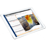
MonitorIQ® Desktop
MonitorIQ® Desktop é nossa plataforma dedicada de análise geotécnica e a plataforma ...
MoreAbrigo SSR-SARx
Especialmente projetado para abrigar o SSR-SARx, o abrigo do SSR-SARx da GroundProbe ...
More