
SSR-XT
TACTICAL, TARGETED SOLUTION
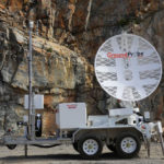
A tactical and targeted solution, the SSR-XT monitors movement that poses a potential or immediate threat to mine slopes, tailings dams, and surrounding infrastructures in general. The strong precision of its 3D Real Aperture Radar (RAR) ensures that areas of concern are monitored in real-time to ensure safety-critical management of at-risk areas.
As the first Slope Stability Radar ever developed, the SSR-XT has now been in active service for over a decade, having undergone numerous improvements over that time. Currently in its third series, it’s the industry’s most reputable, most proven system.
The SSR-XT’s scan area is fully customisable, allowing users to precisely target the points of interest they want to monitor.
In-built processing at the radar ensures no latencies or delays in the transfer of data to the Primary Monitoring Point, enabling a fast response time, crucial for safety-critical monitoring. The fully-processed data is immediately available for viewing and alarming at the end of every scan; a feature specifically unique to GroundProbe.
Not reliant on a broad beam to illuminate the wall, the SSR-XT’s pencil beam is able to be positioned anywhere, to image any area, independent of the geometry.
The radar automatically generates a powerful, high-density 3D model of the wall. It is updated live, scan by scan, to produce its own, always up-to-date 3D model that doesn’t rely on any external source.
The 3D model can be manoeuvred to better understand the geological shape, structures and locations of potential failures that can never be derived from a historical CAD model.
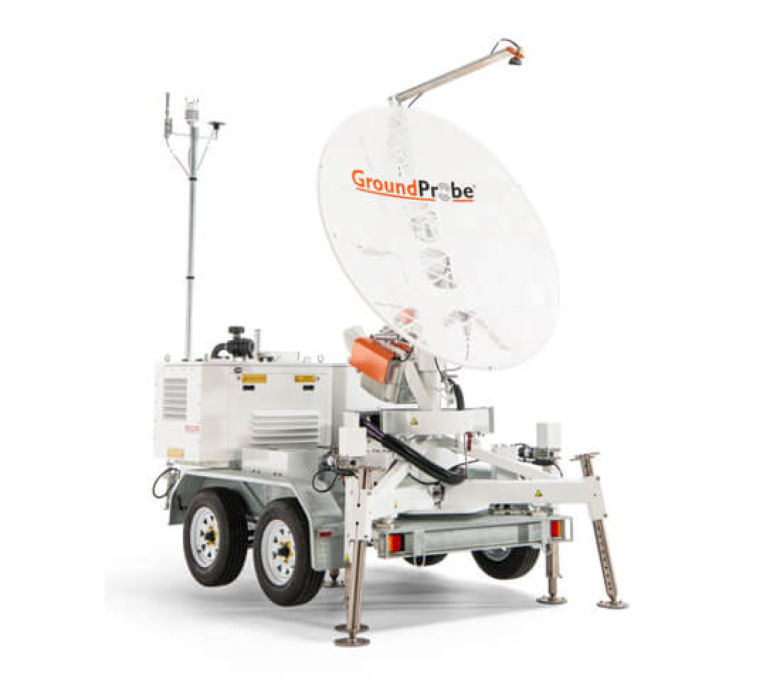
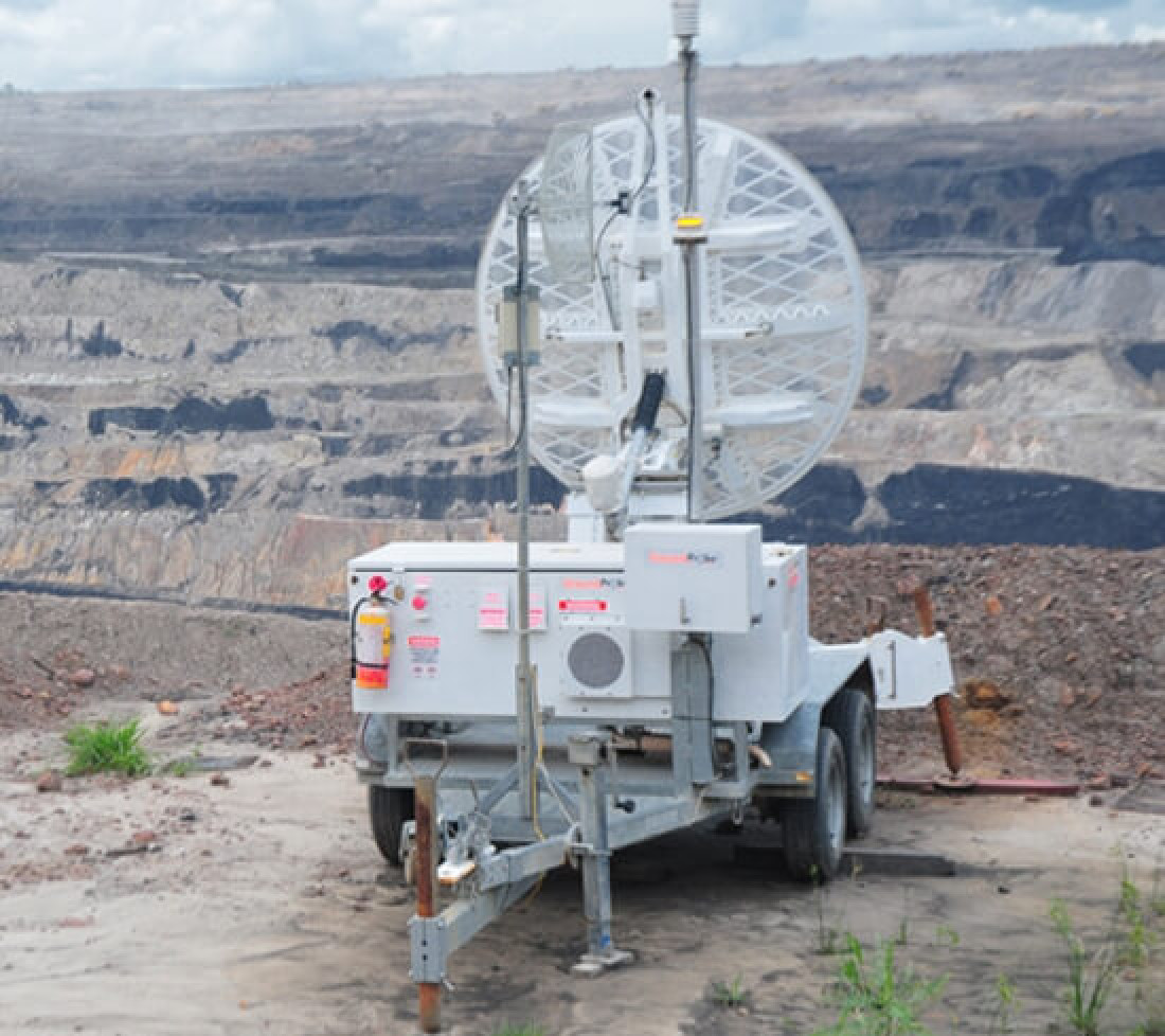
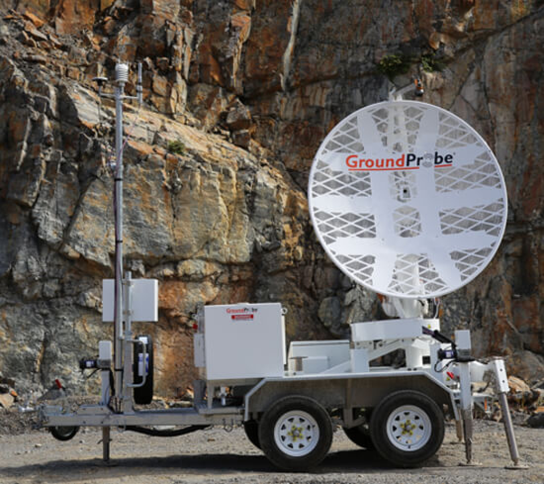
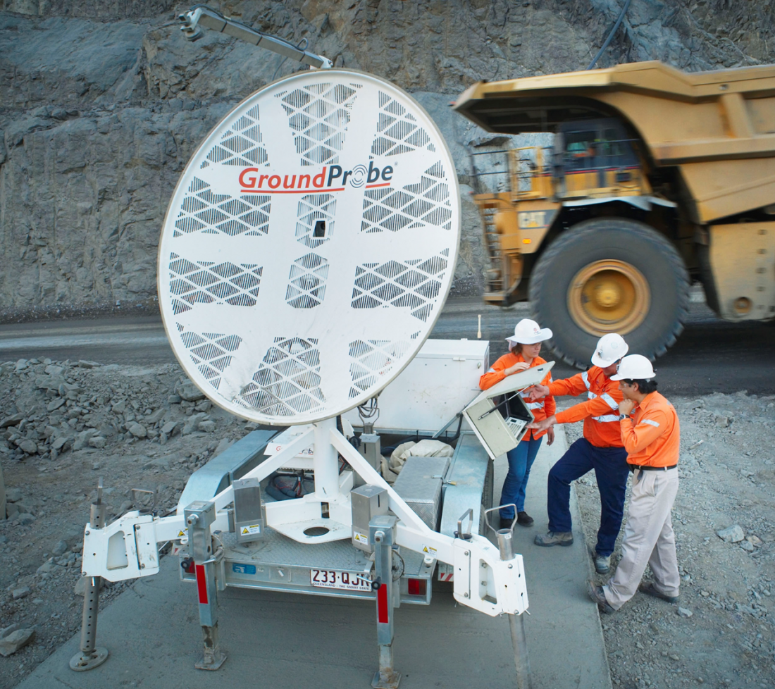
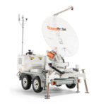
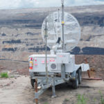
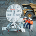
The SSR-XT is highly mobile, with the capacity to scan from anywhere in your pit – guaranteeing every targeted area of concern is monitored in real time. Equipped with an in-built electric jack kit, the SSR-XT can be safely deployed by one user quickly and with minimal physical exertion or risk.
Flexible to site-specific needs, the system is also available in a fixed deployment model.
The SSR-XT is extremely durable; proven to reliably operate in inhospitable environments that have included intense sun, rain, wind, snow and humidity. Mechanically sound and delivering reliable data, the SSR-XT can be deployed at mine sites that range in temperatures from -40°C to +55°C, and sit as high as 5000m above sea level.
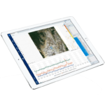
The SSR-XT includes a high resolution, integrated imaging system for real-time photographs that are co-registered with the radar data; a technique unique to and patented by GroundProbe.
When the data is visualised, the deformation heatmap is draped over the high resolution image. By clicking on any part of the image, movement can be reviewed and assessed live, with confidence.
Without the need for georeferencing, or importing a DTM into the radar, the SSR-XT can commence monitoring straight away.
A key benefit of interferometric-based radar technology, the SSR-XT doesn’t lose measurement accuracy as range increases. Deploy the radar 30m or 3,500m from the area of interest, and its sub-millimetre deformation measurement accuracy remains.
On request, and customised to suit specific site needs, GSS can:
- Conduct advanced training and on-going development for on-site staff
- Deliver regular, detailed reports containing comprehensive analysis and interpretation of radar data
- Provide a complete remote monitoring solution – real-time, 24/7 support from a central, remotely-located office
- Provide a complete local monitoring solution – in-person, on-the-ground monitoring, flying in and out as needed
- Offer competency-based training into the application of alarms and the integration of alarm thresholds
| OPERATIONAL SPECIFICATIONS | ENVIRONMENTAL | |
|---|---|---|
| Error Increase Over Range: Nil |
Communications: Integrated wireless link or connect to mine network |
Altitude: 0 to 5,000m |
| End-to-End Scan Time*: 85° x 20° (4 minutes) *End-to-end scan time includes acquisition, |
Power Options: RAPS (Y), CPS, CPS Extreme, Battery Box with AC |
Humidity: 5% to 99% |
| Range: 30 – 3,500m |
Deployment Option: Fixed or Mobile |
Rainfall: 0 to 100mm/hr |
| Pixel Size at 1000 Metres: 8.7m x 8.7m |
Deformation Measurement Accuracy: 0.1 mm or submillimetre |
Temperature: Standard kit: -25°C to +55°C Extreme kit: -40°C to +55°C |
| Operational Wind Speed: 90km/hrSurvival Wind Speed: 160km/hr |
Downloads and Resources

Related Products
MonitorIQ® Enterprise Geotechnical Software
Designed and developed by geotechnical engineers for geotechnical engineers, MonitorIQ® ...
More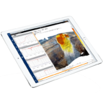
MonitorIQ® Desktop Geotechnical Software
MonitorIQ® Desktop is our dedicated geotechnical analysis platform and the standard ...
MoreSlope Stability Radar Shelter (SSR)
GroundProbe’s SSR Shelter is a rugged, protective accessory developed to house ...
More